Revolutionize Infrastructure Renovation with Drone 3D Modeling: A New Era of Precision
Fixing up old buildings and infrastructure is a big job. It used to take a lot of time and guesswork. Now, we’ve got drones that can fly around and take super…
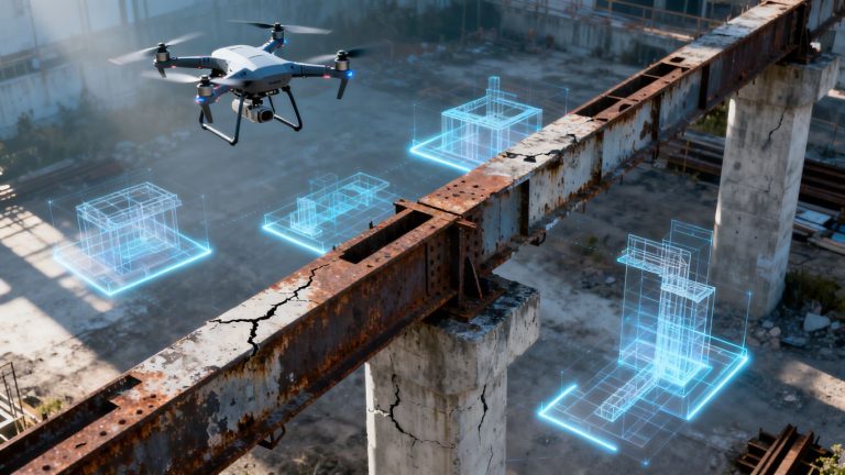
Fixing up old buildings and infrastructure is a big job. It used to take a lot of time and guesswork. Now, we’ve got drones that can fly around and take super…
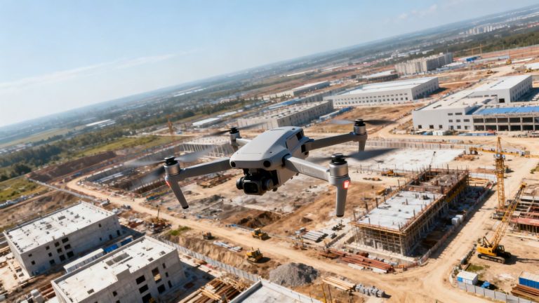
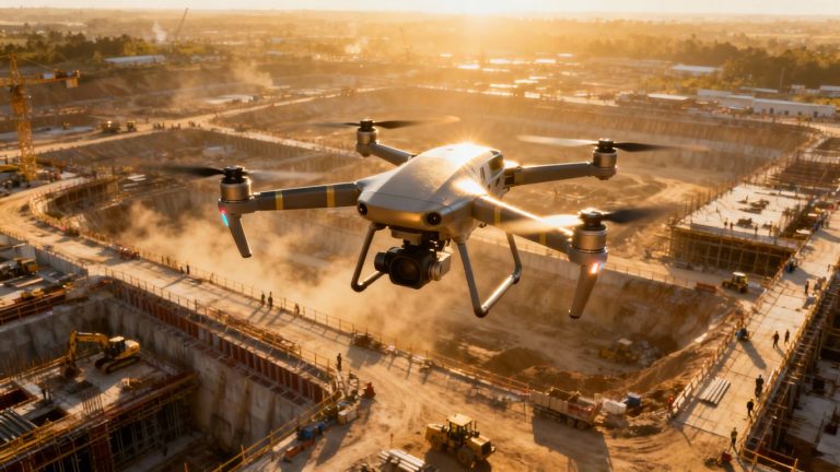
Managing a construction project can feel like juggling a dozen things at once. You’ve got schedules to keep, safety to worry about, and keeping everyone on the same page is a…
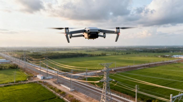
Keeping our power lines, water pipes, and other essential services in good shape is a big job. It used to mean a lot of people climbing poles or walking miles of…
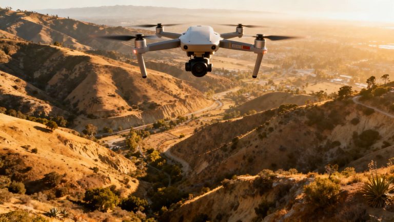
Getting really precise maps from drones in California is getting easier, and it’s all thanks to some cool new tech. If you’re working on projects where every centimeter counts, like building…
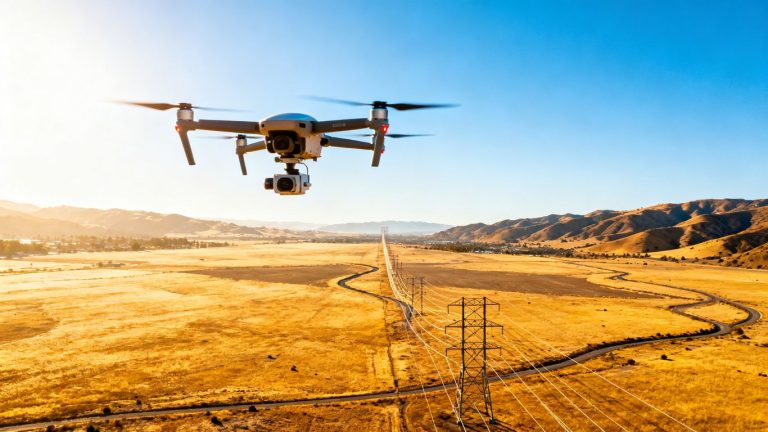
California’s vast infrastructure, from power lines to pipelines, needs constant checks. Doing these checks the old way can be slow, costly, and even dangerous. But things are changing fast. New drone…
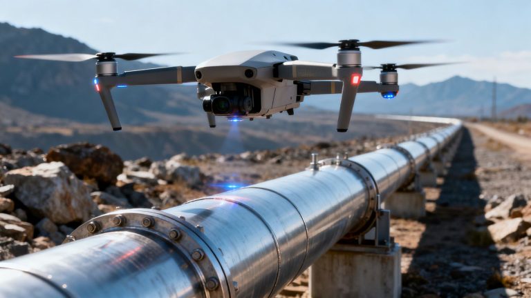
Pipelines are super important for moving stuff like oil and gas around, but leaks are a big headache. They can cause all sorts of problems, from messing up the environment to…
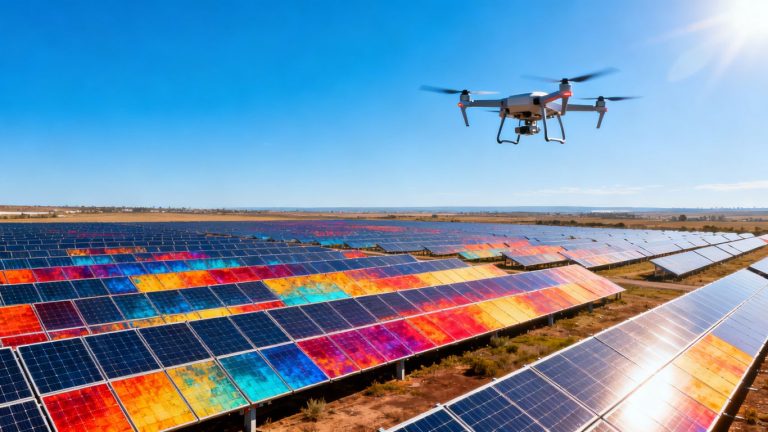
Solar farms are getting bigger, and keeping them running smoothly is a big job. You know, like trying to keep track of all your socks after laundry day. It’s easy for…
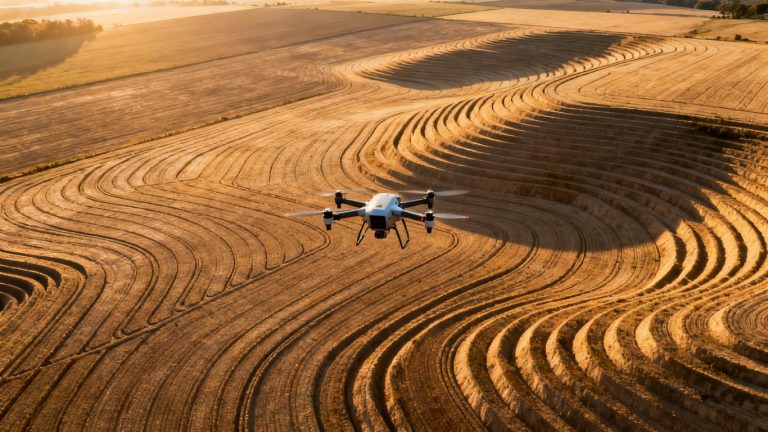
Remember the days of lugging heavy equipment across muddy fields, just to mark a few spots? Yeah, that feels like ancient history now. Drones are changing the game for land grading,…
You know, flying drones around for business videos used to seem like something out of a sci-fi movie. But now? It’s a total game-changer, especially for companies working on big infrastructure…
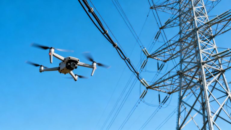
Keeping the lights on for everyone is a big job, and inspecting high voltage power lines has always been a tricky, often dangerous, part of that. For years, folks had to…