
Aerial Data Capture in Gilroy.
Aerial Imaging in Gilroy for Smarter Construction Projects
Managing construction projects in Gilroy means balancing deadlines, budgets, and safety expectations in a highly competitive market.
Traditional site visits and static reports no longer provide the reliability and speed you need.
This is where aerial imaging in Gilroy changes the game, giving you real-time, high-resolution visuals that enhance oversight and decision-making.
By using advanced drone technology, aerial imaging delivers more than just photos. It provides actionable data for project managers, engineers, and contractors to track progress, monitor safety, and improve communication with stakeholders.
From surface visualization data to 3D aerial modeling from imagery, these services create a clear visual representation of your project’s development at every stage for planning and documentation purposes.
If you’re overseeing a complex build, ensuring site safety, or needing reliable documentation for compliance, aerial imaging services offer a faster, safer, and more cost-effective solution.
With this technology, you can detect issues early, reduce costly rework, and keep your project aligned with schedules and client expectations.
Take the next step in modern construction management — contact us today to learn how aerial imaging in Gilroy can streamline your projects.

Construction Site Monitoring in Gilroy with Real-Time Data
Keeping your projects on schedule requires reliable tracking.
Construction site monitoring in Gilroy provides time-stamped aerial visuals that highlight daily progress, delays, and subcontractor performance.
Why Construction Site Monitoring in Gilroy Matters
Enhancing Safety with Aerial Imaging in Gilroy
Safety is one of the most significant challenges on a busy site.
With aerial imaging in Gilroy, you can identify potential hazards, monitor worker activity, and support OSHA compliance without interrupting operations.
How Aerial Imaging in Gilroy Supports Safety
Spot unsafe access points or congestion zones
Conduct virtual safety inspections

Create visual records for audits and insurance claims
Protect your team and reputation
Structural Inspection through Aerial Imaging in Gilroy
Structural inspections can be time-consuming and risky.
Using drones for aerial imaging in Gilroy, you can assess roofs, façades, and tall structures safely and efficiently.
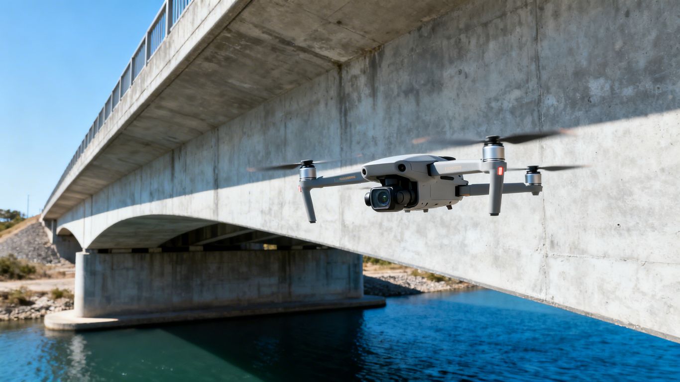
Advantages of Structural Aerial Imaging in Gilroy
Access hard-to-reach areas without scaffolding
Detect cracks, misalignments, or defects early
Provide clients with quality assurance documentation
Save time and reduce risks
Construction Site Monitoring in Gilroy for Compliance and Reporting
Regulatory compliance is easier when you have detailed, date-stamped records.
Construction site monitoring in Gilroy ensures you always have the documentation needed for permits, audits, and insurance.
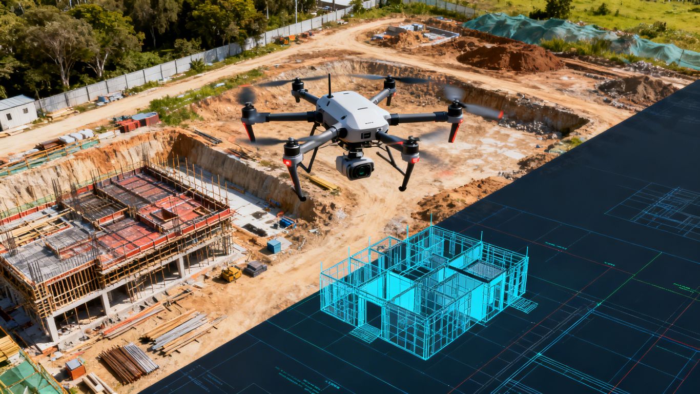
Compliance Benefits of Construction Site Monitoring in Gilroy

Choosing the Right Aerial Imaging Partner in Gilroy
Not all providers are equal.
When selecting an expert in aerial imaging in Gilroy, look for certified pilots, advanced equipment, and expertise in construction.
What to Look for in Aerial Imaging Services in Gilroy
Frequently Asked Questions
We offer Aerial Imaging, Construction Site Monitoring, Structural Inspection Services, and more across the following locations:
Fremont, Fresno, Gilroy, Modesto, Monterey, Morgan Hill, Oakland, Sacramento, Salinas, San Francisco, San Jose, Santa Cruz, Stockton, Watsonville, Santa Clara County, Northern California, and the surrounding areas.
Disclaimer:
Aeroskape, LLC does not provide Professional Land Surveying services. Aeroskape’s services do not include the determination of property boundaries, contours, monuments, or the authoritative position of land or fixed objects as defined under California Business & Professions Code §8726. All deliverables are provided for planning, visualization, documentation, and informational purposes only. When survey-grade or legal deliverables are required, clients should consult a licensed Professional Land Surveyor (PLS).