
Aerial Data Capture in Watsonville.
Aerial Imaging in Watsonville – Modern Solutions for Construction Site Monitoring
Managing a construction project in Watsonville requires reliability, efficiency, and constant oversight.
Traditional ground-based monitoring often falls short, leaving gaps that can result in delays, safety risks, and added costs.
This is why aerial imaging in Watsonville has become a crucial tool for construction managers, developers, and engineers who need reliable, real-time data to make informed decisions.
By integrating aerial imaging in Watsonville and construction site monitoring in Watsonville, you gain a complete view of your project from above, empowering you to track progress, improve safety, and maintain compliance — all while saving time and resources.
Whether you’re overseeing a commercial build, a residential development, or a large-scale infrastructure project, aerial imaging delivers insights that ground inspections alone simply cannot provide.
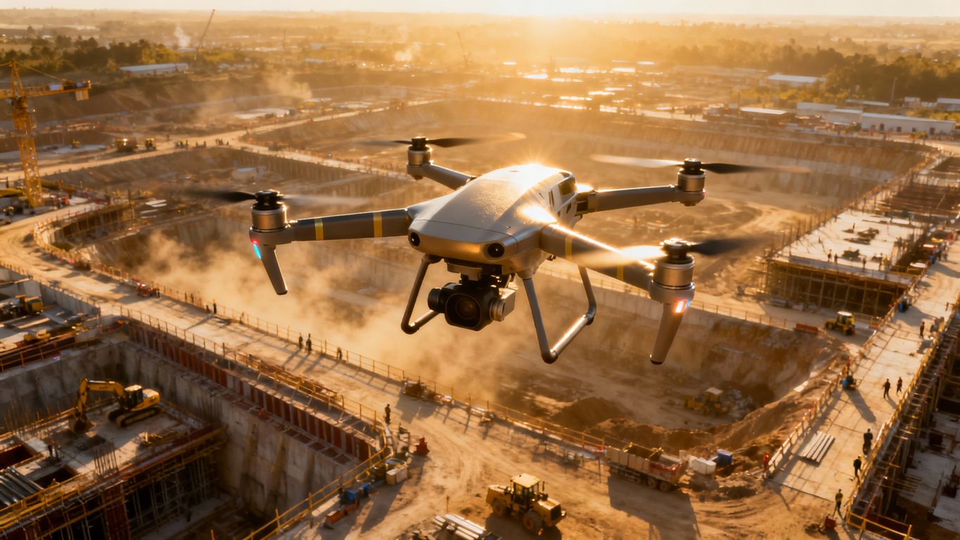
At the heart of this service is drone technology that captures high-resolution images, creates 3D aerial models from imagery, and generates detailed surface visualization data for planning and documentation purposes only.
These deliverables allow you to manage site logistics, identify hazards, and communicate effectively with stakeholders.
With the competitive pace of construction in Watsonville, adopting aerial solutions ensures you stay ahead of challenges and deliver projects on time and within budget.
Ready to see how aerial imaging can transform your construction project?
Contact our team today to schedule a consultation and get started.
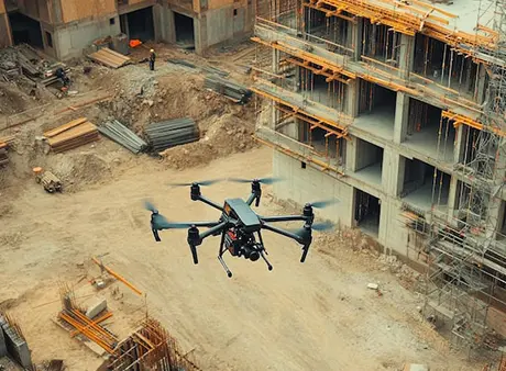
Construction Site Monitoring in Watsonville for Real-Time Oversight
With construction site monitoring in Watsonville, you gain continuous oversight of progress, safety, and compliance.
Instead of relying solely on manual inspections, aerial technology delivers consistent, objective data that improves accountability across your project.
Benefits of Construction Site Monitoring in Watsonville
construction site monitoring
Enhancing Safety with Aerial Imaging in Watsonville
Safety remains one of the most critical aspects of construction.
By using aerial imaging in Watsonville, project managers can inspect rooftops, scaffolding, and other hard-to-reach areas without exposing workers to unnecessary risks.
Structural Inspections Made Safer
Drones capture high-definition visuals of elevated structures, identifying cracks, corrosion, or misalignments early. This proactive approach prevents accidents and strengthens regulatory compliance.
Reveal terrain obstacles and environmental sensitivities
Ensuring your designs align with site reality
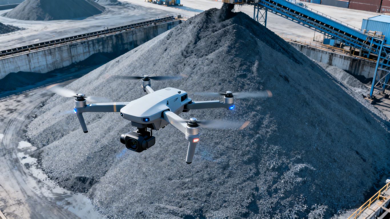
Reduces costly rework
Keep projects on schedule
Construction Site Monitoring in Watsonville for Stakeholder Communication
Clear communication is essential for keeping teams, clients, and investors aligned.
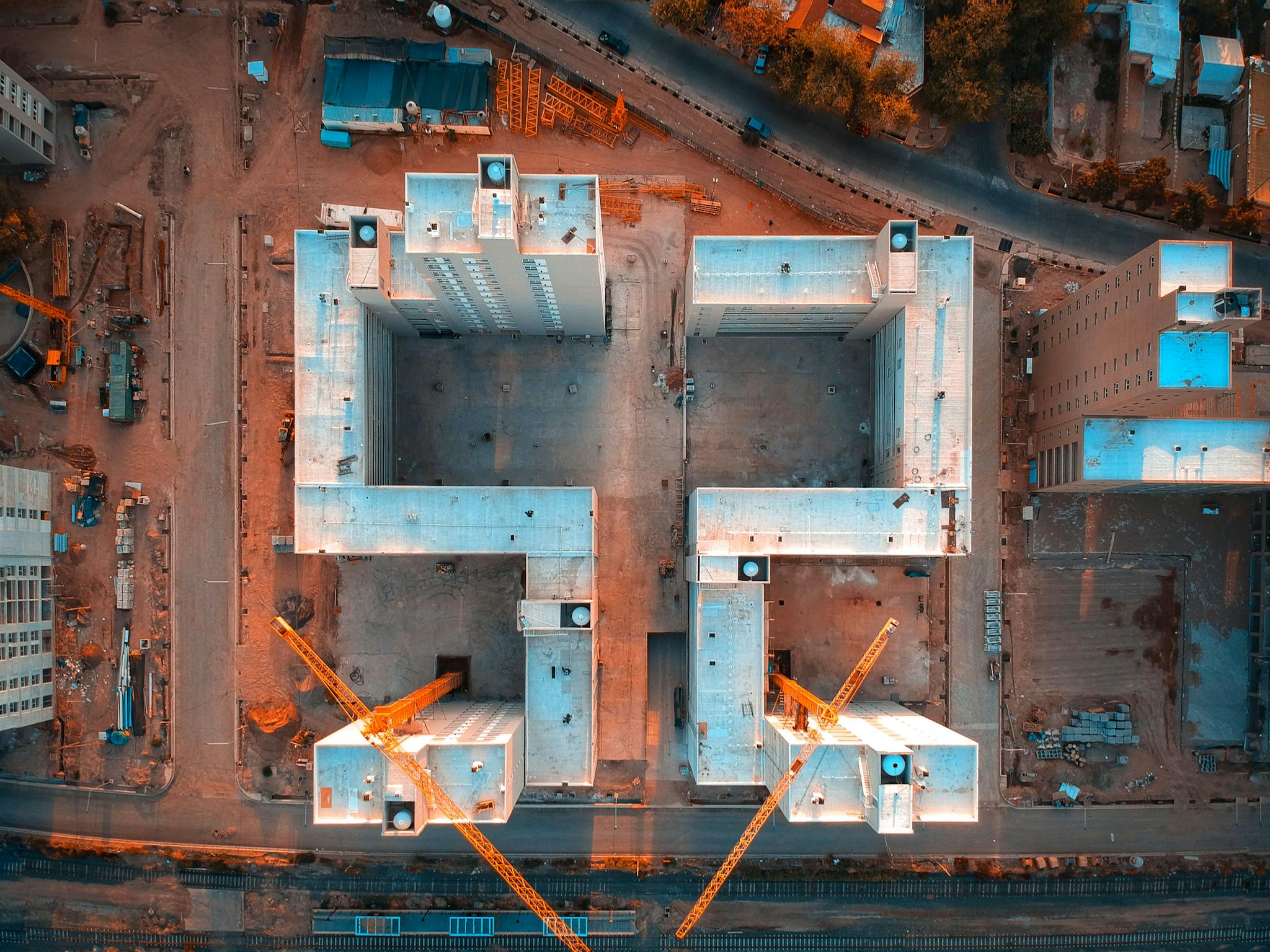
Construction site monitoring in Watsonville provides shareable visuals that replace complex reports with transparent imagery.
alignment
Keeping Everyone on the Same Page
Annotated maps and 3D models allow stakeholders to view project conditions in real time
Visual clarity fosters trust, accelerates decision-making, and minimizes misunderstandings
Improve collaboration with drone visuals
Share site updates with your team
Reducing Costs with Aerial Imaging in Watsonville
By identifying issues early, aerial imaging in Watsonville reduces costly rework and delays.
Instead of reacting to problems, you gain the ability to act proactively with real-time data.
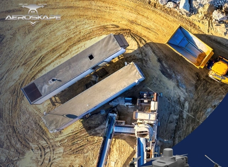
Cost-Saving Advantages of Aerial Imaging
compliance
Construction Site Monitoring in Watsonville for Compliance
Regulatory compliance is critical for every project. Construction site monitoring in Watsonville ensures you have verifiable, visual documentation for safety protocols, environmental standards, and municipal inspections.
Compliance Documentation That Protects You
Drone imagery archives provide a permanent record of your site, simplifying audits and protecting against disputes.
This evidence-based approach demonstrates your commitment to best practices.
Simplify compliance with aerial documentation. Request a compliance package.
Choosing a Trusted Partner for Aerial Imaging in Watsonville
Finding the right provider for aerial imaging in Watsonville is key to maximizing the benefits of this technology.
Look for experienced operators who understand construction challenges and deliver actionable data.
Work with a trusted aerial imaging partner.
Schedule your consultation today.
What to Expect from a Reliable Aerial Imaging Partner
Frequently Asked Questions
We offer Aerial Imaging, Construction Site Monitoring, Structural Inspection Services, and more across the following locations:
Fremont, Fresno, Gilroy, Modesto, Monterey, Morgan Hill, Oakland, Sacramento, Salinas, San Francisco, San Jose, Santa Cruz, Stockton, Watsonville, Santa Clara County, Northern California, and the surrounding areas.
Disclaimer:
Aeroskape, LLC does not provide Professional Land Surveying services. Aeroskape’s services do not include the determination of property boundaries, contours, monuments, or the authoritative position of land or fixed objects as defined under California Business & Professions Code §8726. All deliverables are provided for planning, visualization, documentation, and informational purposes only. When survey-grade or legal deliverables are required, clients should consult a licensed Professional Land Surveyor (PLS).