
Aerial Data Capture in Salinas.
Aerial Imaging in Salinas for Construction Site Monitoring
Construction projects in Salinas demand reliability, efficiency, and transparency.
Whether you’re managing a commercial build, overseeing infrastructure, or coordinating residential developments, having reliable and up-to-date information is critical to staying on schedule and within budget.
Traditional ground-based methods often take time and miss key details.
That’s why aerial imaging in Salinas has become a vital tool for site managers, engineers, and contractors who want real-time insights and reliable data.
Ready to explore how aerial imaging can streamline your project?
Contact us today for a consultation.

Benefits of Aerial Imaging in Salinas
Adopting aerial imaging on your job site enhances visibility and creates a data-rich environment where every decision is backed by evidence.
Improved Construction Site Monitoring in Salinas
With construction site monitoring in Salinas, you’ll receive progress updates at intervals that suit your schedule.
Time-stamped Visuals help identify bottlenecks and streamline communication with subcontractors and clients.
Book a demo today and see how aerial imaging can simplify your reporting.
Drone technology is more than just photography.
It’s a tool that supports every phase of construction.
Land Development and Planning with Aerial Imaging in Salinas
By using aerial imaging in Salinas during pre-construction, developers can assess grading, drainage, and access points before breaking ground.
This reduces the risk of costly surprises later in the project.
Learn more about our land development imaging services.
Drone technology is more than just photography. It’s a tool that supports every phase of construction.
Ongoing Construction Site Monitoring in Salinas
Routine flights deliver a consistent flow of data, helping project managers validate work completed, track milestones, and keep reliable records for compliance.
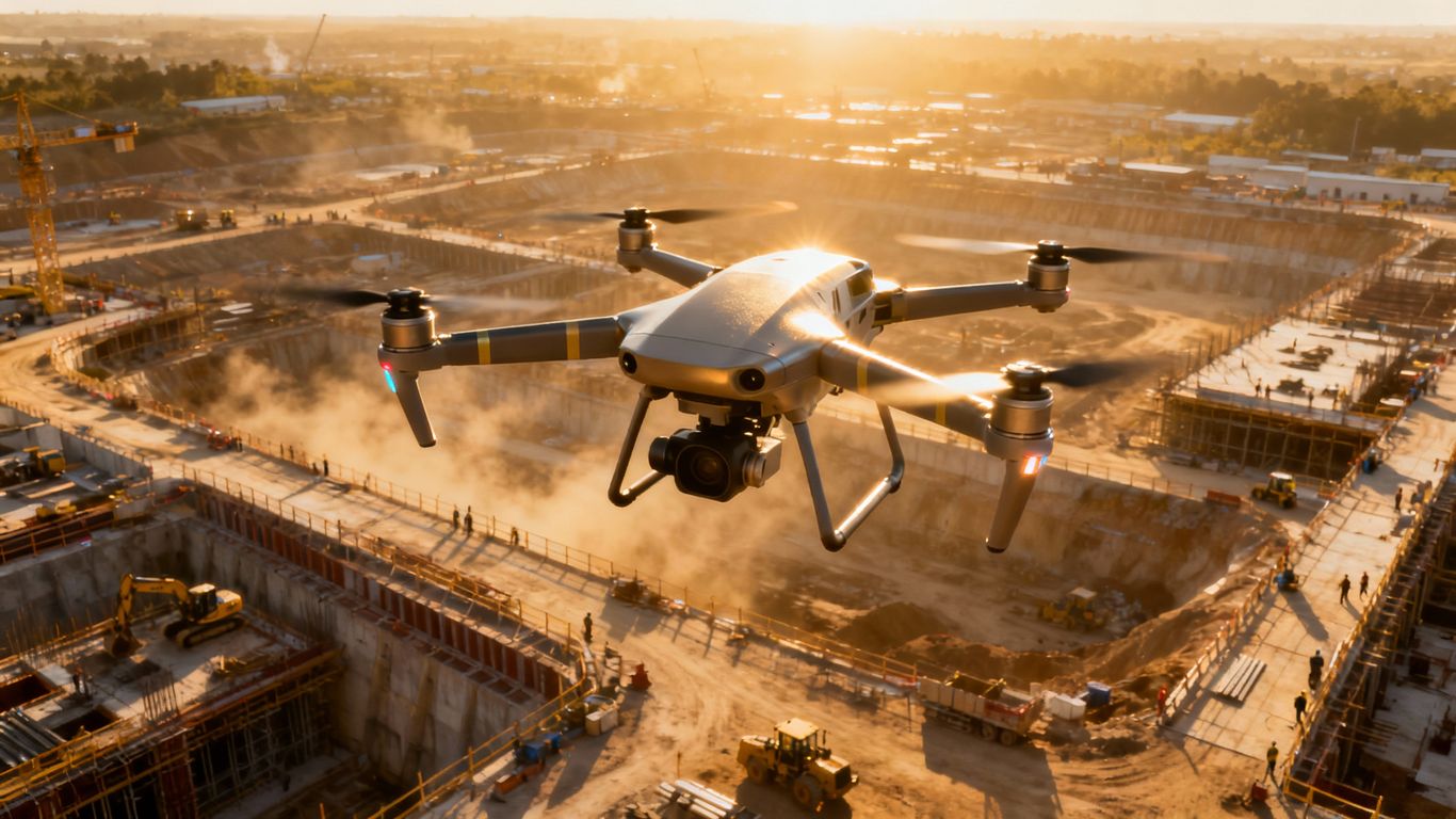
Get in touch today to automate your site monitoring process.
Safety and Compliance with Construction Site Monitoring in Salinas
Safety and compliance are non-negotiable in construction.
Drone imaging provides a safe, efficient way to maintain oversight without putting personnel in harm’s way.
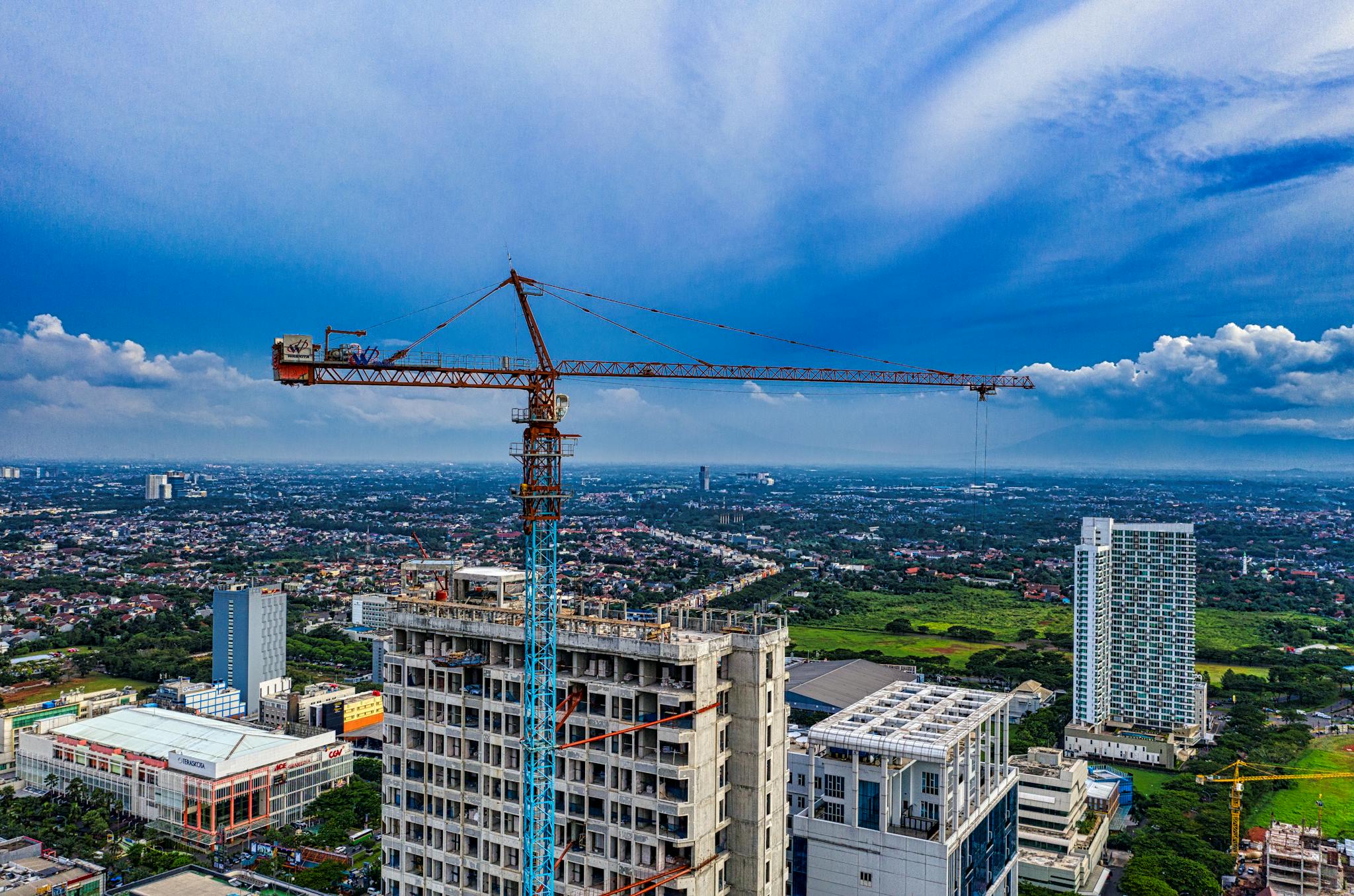
Hazard Detection through Aerial Imaging in Salinas
From roof inspections to monitoring restricted zones, drones can detect safety risks early and reduce accidents.
With aerial imaging in Salinas, you can address issues before they escalate.
Protect your workforce—schedule your aerial safety inspection today.
Request compliance-ready aerial reports now.
How Construction Site Monitoring in Salinas Works
Understanding the process helps you see why more construction leaders are turning to drones.
Data Capture through Aerial Imaging in Salinas
High-resolution cameras and sensors capture detailed visuals from every angle, providing an reliable overview of the site.
Captured imagery is processed into interactive visual maps, 3D aerial models from imagery, or reports that integrate with your BIM or CAD software for planning and coordination purposes.
Contact us to discover how our workflow can integrate with your existing systems.
Why Choose Aerial Imaging in Salinas for Construction
Choosing the right partner for aerial imaging in Salinas ensures you gain more than data — you gain actionable insights that move your project forward.
Value of Construction Site Monitoring in Salinas
Construction site monitoring in Salinas supports better collaboration, reduces delays, and strengthens your reputation for delivering quality projects on time.
Ready to take the next step? Contact our aerial imaging team today.
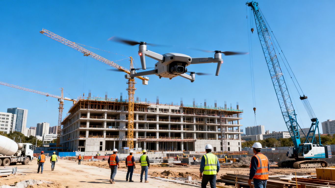
Choosing the Right Partner for Aerial Imaging in Salinas
Selecting a trusted provider for aerial imaging in Fremont ensures you gain maximum value from your investment.
Look for expertise in construction, experience in Fremont’s local environment, and proven support for rapid deployment.
Work with a team that understands Fremont’s construction needs—get in touch today for tailored aerial imaging in Fremont solutions.
Qualities of a Reliable Aerial Imaging Partner
Frequently Asked Questions
We offer Aerial Imaging, Construction Site Monitoring, Structural Inspection Services, and more across the following locations:
Fremont, Fresno, Gilroy, Modesto, Monterey, Morgan Hill, Oakland, Sacramento, Salinas, San Francisco, San Jose, Santa Cruz, Stockton, Watsonville, Santa Clara County, Northern California, and the surrounding areas.
Disclaimer:
Aeroskape, LLC does not provide Professional Land Surveying services. Aeroskape’s services do not include the determination of property boundaries, contours, monuments, or the authoritative position of land or fixed objects as defined under California Business & Professions Code §8726. All deliverables are provided for planning, visualization, documentation, and informational purposes only. When survey-grade or legal deliverables are required, clients should consult a licensed Professional Land Surveyor (PLS).